EN
EN CN
CN 


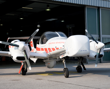
Moset Economic Remote Sensing Platform
The systems are integrated on the DA42 MPP, the most economic remote sensing platform worldwide, with sufficient resources for fuel and flight crew. Hence the GEOSTAR is able to complete incredible 10-hour survey flights with a range of up to 1,042 NM, equivalent to the flight route Vienna – Alicante. At an altitude of 10,000 feet it can even collect data from areas of unbelievable 3,400 km², the size of the Spanish isle Majorca, during one single flight only.
Collect laser-scanning and photogrammetry data at once
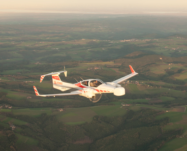
For the first time, the new DA42 GEOSTAR enables collecting laser-scanning and photogrammetry data during one single flight.
A photogrammetric camera, installed in a special pod on the aircraft’s nose, delivers accurate representations of the Earth's surface, called ortho-photos (aerial photos). A laser-scanner captures the terrain topography by firing a laser and measuring the time it takes for the laser to be reflected back from a point. The result of the collected measurements is a digital terrain model in the form of a point cloud. The scanner is mounted on the belly of the aircraft in a specifically designed pod. By merging the ortho-photo with the point cloud you get a precise, realistic 3D model of the object.
State-of-the-art technology
The special mission aircraft consists of state-of-the-art technology from renowned companies:
Long-range airborne laser-scanner “LMS-Q780” from RIEGL Laser Measurement Systems.
- High-format photogrammetric camera “Ultracam LP” from Microsoft/VEXCEL Imaging.
Gyro stabilization mount “SSM 350 L” von SOMAG for drastic movement reduction of the camera.
Flight management systems “CCNS 5 / AEROCONTROL 2” from IGI Systems for guidance, positioning and sensor management.